
I live at the foot of the Great Eastern Escarpment of California's Sierra Nevada mountains in the tiny village of Independence. The Sierra rises just 6 miles east of town to an elevation of over 14,000 feet. Here at my house in town my GPS says the elevation is 3,920 feet above sea level. So the Sierra rises over 10,000 feet above the valley. This makes the Owens Valley the deepest valley in North America.
I moved here from Seattle to the "Land of Little Rain" in 1998 in part because I was working on a CD of VR photography and historical literature on Death Valley and its surrounds. After spending a few years creating CDs on the Grand Canyon and Southern Utah, I began to focus my efforts on the Sierra Nevada mountains.
For the past seven years I have been hiking and exploring this huge, wild and beautiful area of rugged mountains, deep canyons, rushing wild water and amazing plants.
There are many species in the Sierra that dwarf the rest of their family of plants including the world's largest trees, the Sequoiadendron Gigantea, the Giant Sequoia of the western slopes of the Sierra and the world's largest lupine, Lupinus Magnificus Magnificus, that is endemic (native to) the Owens Valley and the Sierra Nevada. As I have explored the Southern Sierra I have packed along the necessary equipment to record this spectacular scenery in 360 degree panoramic photography. Here are a few samples from the Southern Sierra DVD which contains over 280 360 degree panoramic images:

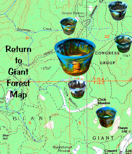
Click to open the 7.5 minute map of the Giant Forest with links to the panos of the General Sherman tree, the world's largest living thing and other views from the Giant Forest and Circle Meadow in the heart of Sequoia National Park.

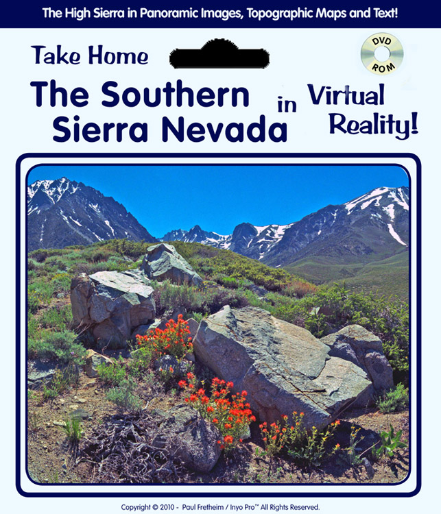
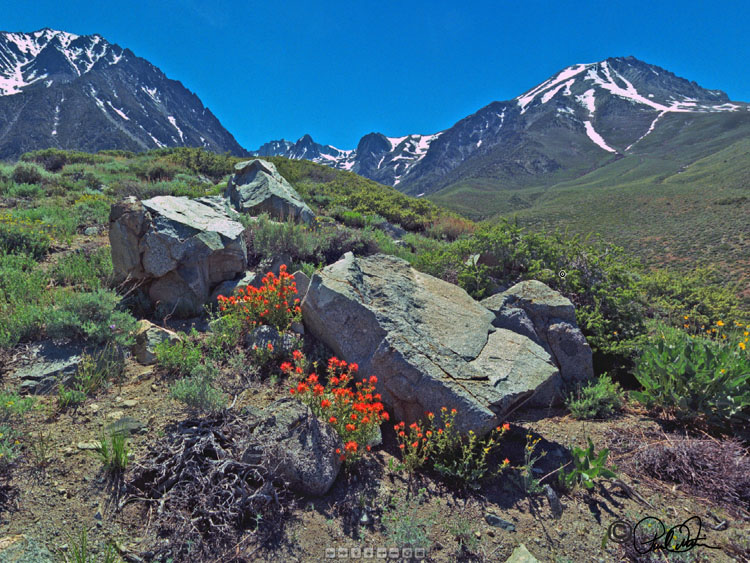
Tinemaha basin with Paintbrush and Boulders
When you climb out of the Owens Valley via Sheperds Pass you ascend nearly 9,000 feet. When I hiked over Sheperds Pass I was reminded of a passage from Heinrich Herr's adventure classic, Seven Years in Tibet. Herr and his companion were fugitives from British India because of the outbreak of WW II, and were wandering around in the remote little known areas of eastern Tibet.
They were in an area populated by the Khampa tribe, which is known to this day for its dangerous bandits. In an attempt to escape some Khampas who were following them, they climbed up a mountain pass that exceeded 17,000 feet in elevation. While they escaped the bandits, when they reached the top of the pass, after climbing and climbing for what seemed forever, they were amazed and alarmed to discover that, instead of going down on the other side, the territory just swept off into the distance with no descent at all. They had climbed up to the Chang Thang, the world's highest plateau.
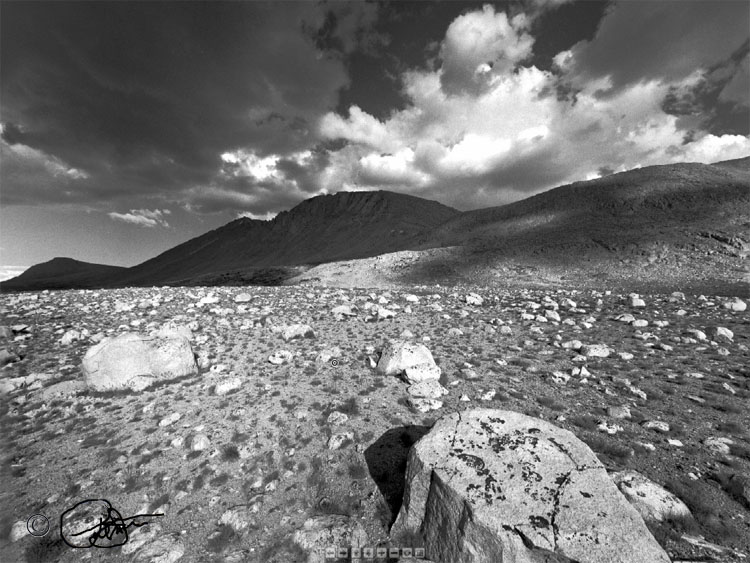
Well, when you reach the top of Sheperds Pass in the Sierra you find yourself in a very similar situation. Unlike what you expect, the landscape does not drop off on the other side of the pass, but, rather, sweeps off into the distance in the form of the Tyndall Plateau, at nearly 13,000 feet, one of the highest plateaus in the world. The image below was taken on the windswept and largely barren plain of the plateau beneath Mt. Tyndall, at 14,018 feet one of the Sierra Nevada's noted "Fourteeners."

Boulders on the Tyndall Plateau
There have been many intriguing characters who have spent major parts of their lives in the Sierra and not the least of these was John Muir. The eastern slopes of the Sierra above the Owens Valley are set aside as a Federally protected Wilderness area named the John Muir Wilderness in Muir's honor. The lands protected as the John Muir Wilderness are certainly among the most spectacularly beautiful anywhere on the planet.
